


Czechia
21.03.2013 / 13:10 | Aktualizováno: 25.02.2025 / 09:47
Below you may find some basic and up-to-date information about Czechia.
Czechia
Czechia is located in the Central Europe and covers an area of 78.866 sq km. Czechia is a landlocked country with 326 km distance from the Baltic Sea and 322 km from the Adriatic Sea. The country is bordered by Germany (810 km), Poland (762 km), Austria (466 km) and Slovakia (265 km). The country's highest peak is on the top of the Sněžka Mountain ( 1 602 above sea level), meanwhile the lowest point may be find near Hřensko where the Vltava River leaves the Czech territory for Germany (117 below sea level).
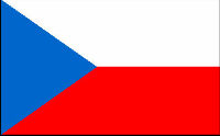
National flag
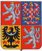
Coat of Arms
Basic information
National Anthem: Kde domov můj (Where my home is), lyrics
Area: 78.886 sq km
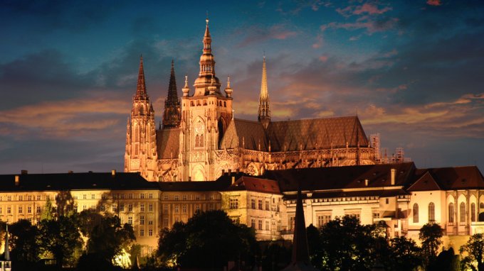
Capital: Prague (1.280 mln.) (2017)
State border length: 2 303 km
Population: 10.597.473 (2017)
Population density: 134/ sq km (2017)
Time zone: CET
Political system: Parliamentary democracy
Currency: Koruna (Kč) - Czech crown (CZK) - 1 EUR= 25,24 CZK (9.2.2018), 1 USD=20,595 CZK (9.2.2018)
GDP (PPP) per capita: 34.753 USD (2016) (15th in the EU)
GDP (PPP): 367 mld. USD (2016) (12th in the EU)
Index of Economic Freedom: 9th in the EU (24th in the world) (2017)
Unemployment: 2,4 pct. (IV/2017) (1st in the EU)